Industrial Drone Solutions Inc.
Our Services

Infrastructure inspection.
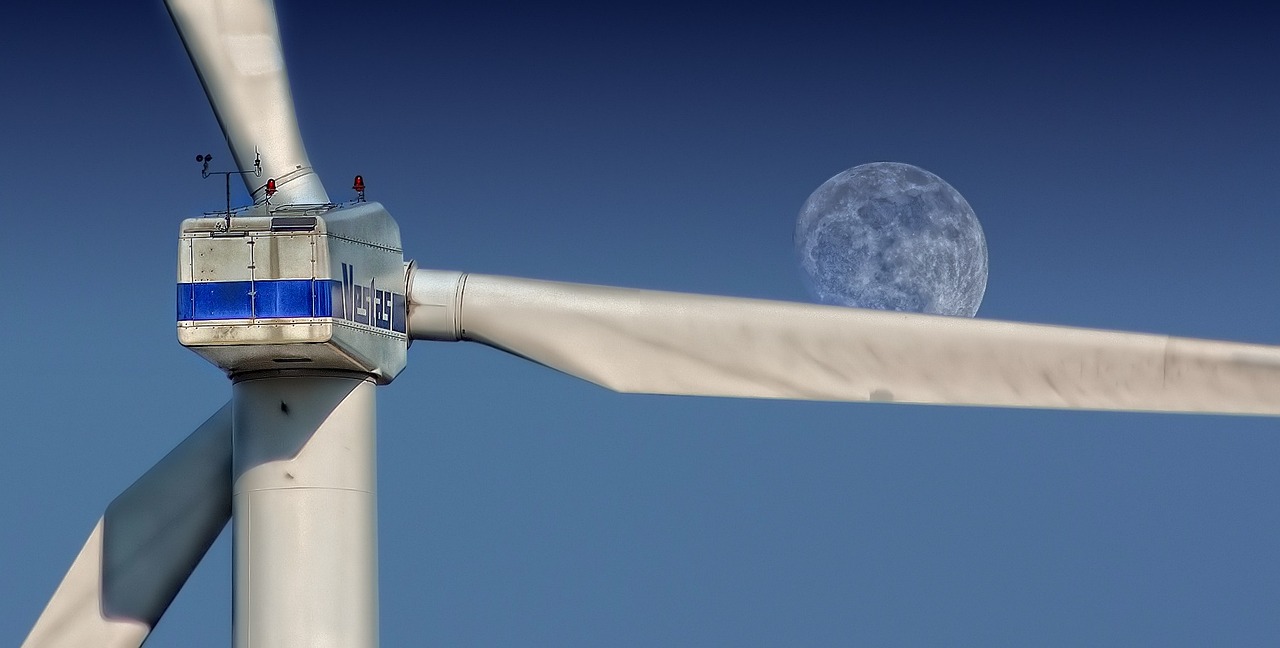
Drones make infrastructure inspections safer and more cost-effective in several ways: Reduced risk to human inspection teams: Drones can inspect dangerous or hard-to-reach areas without putting human workers in harm's way. Increased speed of inspections: Drones can cover large areas quickly, reducing the time required for inspections. Enhanced data collection: Drones equipped with high-resolution cameras, thermal imaging, and other sensors can provide more detailed and accurate data than traditional inspection methods. Lower costs: The use of drones eliminates the need for expensive scaffolding, cherry pickers, and other equipment, making inspections more cost-effective. Improved safety: Drones can inspect infrastructure more thoroughly and safely, reducing the risk of failure and increasing public safety. Overall, drones make infrastructure inspections safer, faster, and more cost-effective compared to traditional methods, enabling organizations to make informed decisions and maintain their infrastructure in a timely and cost-effective manner.

3d mapping and terrain survey.
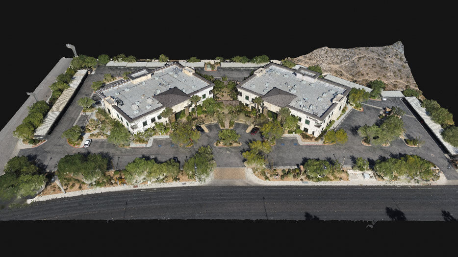
3D mapping is the process of creating a virtual representation of the surface of the earth or an object in three dimensions. This is usually done using aerial or satellite imagery and specialized software. 3D maps can be used for various applications such as city planning, engineering, and architecture.

Agriculture aplications
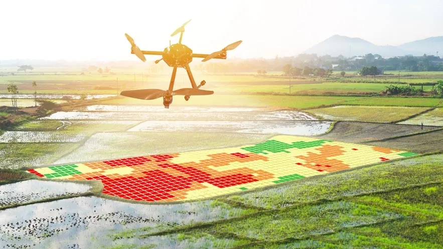
Thermography can benefit agriculture in several ways: Crop Health Assessment: Infrared thermography can be used to detect temperature variations in crops which can indicate disease or stress. Irrigation Management: Infrared imaging can help farmers to determine the water needs of crops, which can improve irrigation efficiency and reduce water waste. Livestock Monitoring: Thermography can be used to monitor the body temperature of livestock, which can indicate illness or stress. Pest Detection: Thermal imaging can help detect pests that may not be visible to the naked eye, allowing farmers to take preventative measures. Soil Moisture Analysis: Infrared thermography can be used to assess soil moisture levels, which can help farmers to optimize water usage and improve crop yields. Overall, thermography provides a non-invasive, cost-effective way for farmers to monitor their crops and livestock, improving the efficiency and sustainability of their operations.
“Original and with an innate understanding of their customer’s needs, the team at Industrial Drone Solutions inc. are always a pleasure to work with.”
Sancho Panza
ABOUT US
Industrial Drone Solutions inc. provides the most advanced aerial, ground, and underwater drone photography and inspection services. Our drones are equipped with the latest technology to capture stunning imagery, inspect hard-to-reach areas and provide detailed analytics on the job site quickly and cost-effectively. With our reliable and experienced team of certified drone pilots, we guarantee a safe and secure service every time. Let us help you transform your business today for a more efficient tomorrow!

QUESTIONS?
Are you looking for an efficient and reliable way to take aerial, ground-based, and underwater drone photography and inspections? Industrial Drone Solutions is here to help! We specialize in providing our customers with the latest cutting-edge drone technology with ease. Our experienced technicians are trained to use advanced drones and analyze the data they collect. With our services, you can be sure that your projects will be completed with precision and accuracy. Let us help you take your projects to the next level today!
